
Executive Overview
Along South Carolina’s historic rural coast—nestled against the sprawling, pristine expanse of the Cape Romain National Wildlife Refuge—residents live in a delicate, high-stakes equilibrium. For generations, the labyrinth of winding creeks, salt marshes, and tidal estuaries has been both the lifeblood and the Achilles’ heel of the region. These waters sustain local livelihoods, provide a bounty of fresh seafood, and anchor a deep, culturally rich heritage rooted in Gullah Geechee history, where descendants of enslaved Africans have maintained enduring ties to the land and water since the era of rice plantations.
Yet, this foundational landscape is undergoing an alarming transformation. Accelerating sea-level rise, increasingly frequent tidal flooding, and severe weather events are turning the tides against these close-knit communities. Aging infrastructure, decades of deferred maintenance following catastrophic storms, and encroaching regional development have critically compromised the natural hydrology of the area. Ditches are overwhelmed, culverts are routinely blocked, and historic waterways choked with decades-old debris can no longer absorb heavy downpours.
In response to this existential threat, a coalition of local residents, community leaders, and environmental advocates—spearheaded by Audubon South Carolina alongside engineering and planning partners—has completed a transformative, multi-year initiative. Rather than imposing top-down engineering fixes, this grassroots campaign prioritized "listening first." By weaving together cutting-edge hydrological science, generational local knowledge, and nature-based restoration strategies, the initiative has mapped 68 distinct flooding hotspots and developed concrete, shovel-ready resilience projects.
This comprehensive report details the journey of South Carolina’s rural coastal communities as they reclaim their agency, leverage science-backed advocacy, and forge a sustainable path forward to protect their homes, their environment, and their irreplaceable cultural heritage.
Detailed Chronology: From Listening Tours to Actionable Maps
The genesis of this resilience initiative broke away from traditional, bureaucratic infrastructure planning. Recognizing that outside experts often fail to capture the nuanced, lived realities of rural communities, project organizers structured the endeavor around deep community engagement.
Phase 1: The Principle of "Listening First"
The initiative officially launched not in a boardroom, but out in the elements. In communities flanking the Charleston sprawl—such as Ten Mile, Tibwin, and McClellanville—residents took the lead. Local champions, including retired teacher Barbara Singleton and Navy veteran Tommy Colleton, guided teams from Audubon South Carolina, The Asiko Group, and Surculus on walking and boating tours of their neighborhoods.
During these field assessments, residents pointed out localized vulnerabilities that standard topographical surveys often miss. Singleton highlighted the chronic standing water gathering right outside her home due to clogged, unmaintained ditches. Near Highway 17—the vital economic and transit artery connecting the region to Charleston—residents demonstrated how a single blocked culvert routinely backs up during moderate storms, rendering the highway impassable and cutting off emergency access. In Ten Mile, residents documented how routine high tides push brackish water directly into driveways, while moderate squalls leave heavy layers of debris and vegetation blanketing asphalt roads.
Phase 2: The Shadow of Hurricane Hugo
Nearly every historical narrative shared during these tours converged on a single catastrophic milestone: Hurricane Hugo. Striking the South Carolina coast as a ferocious Category 4 storm in September 1989, Hugo fundamentally altered the region’s physical and psychological landscape.
For the residents of Tibwin and McClellanville, the memories remain visceral. Singleton recalled sheltering her three small children in a rocking chair as floodwaters crept dangerously high inside her home. Colleton recounted the harrowing experience of his sister being trapped inside Lincoln High School in McClellanville as the gymnasium rapidly flooded.
Crucially, the legacy of Hugo extends far beyond the immediate destruction of 1989. Much of the storm debris deposited into local canals, drainage ditches, and tidal creeks was never systematically removed. Over the ensuing decades, these waterways became increasingly choked, turning minor weather events into recurring flood emergencies and deepening local frustrations with municipal responsiveness.
Phase 3: Collaborative Mapping and Vulnerability Assessment
Armed with the qualitative insights gathered from foot tours, church meetings, and listening sessions held in local restaurants and community centers, project partners synthesized the data into a rigorous analytical framework.
Engineers and hydrologists worked alongside community leaders to catalogue and map 68 distinct flooding hotspots. These sites ranged from structurally compromised culverts and eroding shorelines to the complete loss of public access points at boat ramps and historic waterfront gathering spaces. By overlaying this localized trouble-spot data with historical stream networks, modern tidal models, and watershed topography, the project team produced a comprehensive vulnerability analysis.
Supporting Context & Metrics: Science Meets Local Knowledge
To transition from identifying problems to designing solutions, a project steering committee was established. Composed of trusted community voices like Singleton, Colleton, and retired pastor Lewis Porcher, the committee partnered with Robinson Design Engineers to translate raw hydrological data into tangible, nature-based design concepts.
The Nature-Based Design Strategy
Rather than relying solely on carbon-intensive, hard-armor infrastructure like concrete seawalls—which can disrupt local ecosystems and exacerbate flooding elsewhere—the steering committee prioritized nature-based solutions that work in concert with ecological systems. Two priority projects were advanced to detailed concept design and cost-estimation phases:
-
The Ten Mile Marsh Restoration Project:
- Objective: Reconnect and restore tidal marsh habitat adjacent to a prominent coastal roadway and surrounding residential pockets.
- Mechanism: By restoring the natural contours and tidal flow of the marsh, the project will significantly enhance water storage capacity, buffer against storm surges, and mitigate chronic roadway flooding.
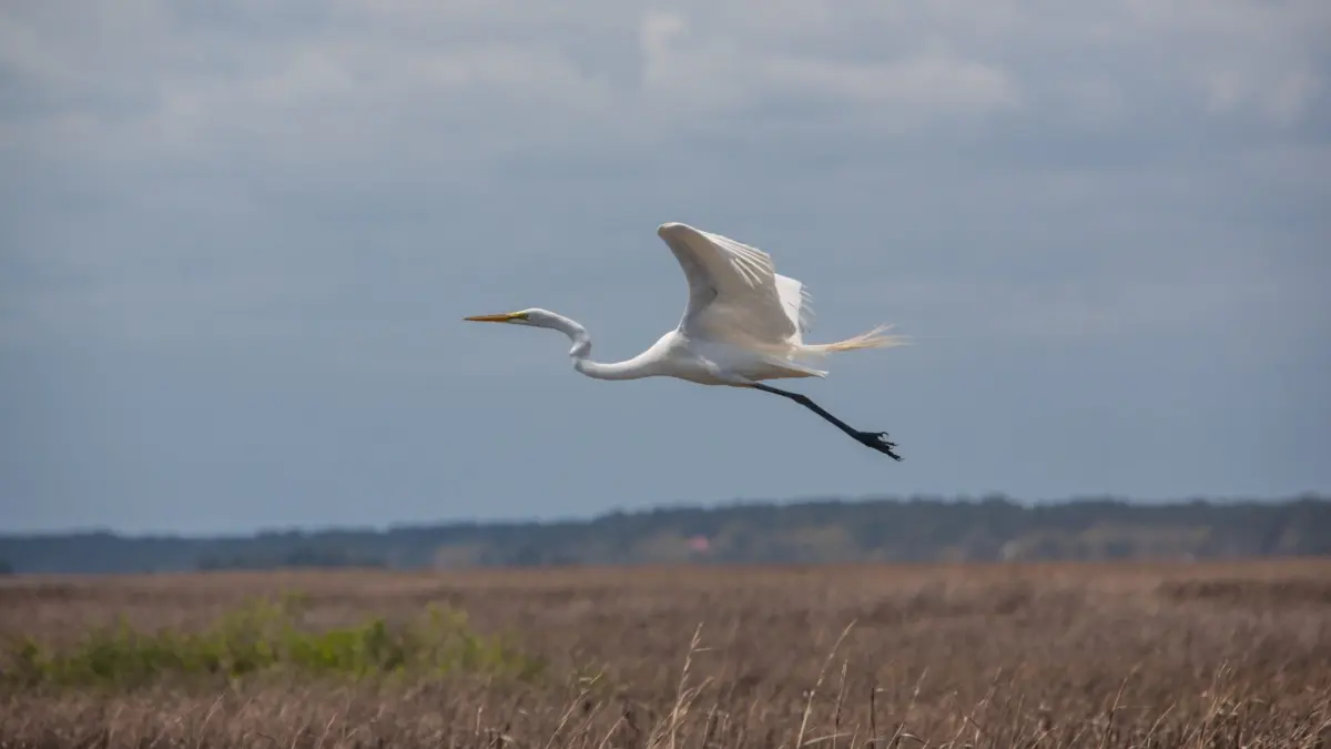
- Co-benefits: Expansion of critical coastal bird habitats for vulnerable species such as egrets and rails.
-
The Tibwin-McClellanville Stream and Floodplain Reshaping Project:
- Objective: Overhaul and revitalize an existing, degraded canal system originally installed decades ago.
- Mechanism: Reshaping the rigid canals into systems that closely mimic natural meandering streams and connected floodplains. This design allows floodwaters to safely spill out and slow down during heavy rain events, reducing peak downstream volumes.
- Co-benefits: Creation of recreational and educational infrastructure, including community walking trails and raised observation points, while concurrently re-establishing vital coastal wetland bird habitats.
Capacity Building and Agency Integration
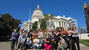
Beyond engineering schematics, the initiative deliberately focused on institutional capacity building. Recognizing that rural communities often lack the administrative resources to navigate complex state and federal grant landscapes, Audubon South Carolina and its partners bridged the gap. Last spring, the initiative hosted a major Community Resource Fair, bringing together representatives from a dozen state, county, and federal organizations. This direct engagement ensured that residents were equipped with the tools, contacts, and knowledge necessary to independently advocate for their communities in the years to come.
Official Statements and Perspectives
The success of the multi-year initiative is best reflected through the voices of those who designed, guided, and lived it.
Sherri Fields, Conservation Director at Audubon South Carolina:
"From the beginning, the idea was to start with questions rather than a plan. What are the biggest flooding and resilience issues you’re facing? And how can we work together to help you fix them and preserve what makes this place so special?"
Tommy Colleton, Steering Committee Member and Navy Veteran:
Reflecting on the historical neglect of local drainage systems following Hurricane Hugo, Colleton noted how frustration had steadily mounted over the decades. However, he emphasized that the current initiative has completely shifted the power dynamic for local residents:
"Flooding didn’t come front and center until Hugo. You’ve given me a handful of stuff that I can go put on the table at the county council."
Lewis Porcher, Steering Committee Member and Retired Pastor:
Porcher underscored the vital transition from anecdotal complaints to undeniable empirical evidence:
"We now have real science. We have maps. We have projects. We have tangible things we can present."
Barbara Singleton, Longtime Resident and Community Advocate:
For Singleton, the true triumph of the initiative lies in the empowerment of everyday citizens to stand on equal footing with government officials and agency bureaucrats:
"I got to see folks at these agencies eye to eye, tell them what I see, what I think, what I know. When flooding issues rise in the future, I’ll know who to call."
Future Outlook: A Resilient Roadmap for South Carolina’s Coast
As South Carolina’s rural coast faces an increasingly uncertain future marked by accelerating climate change and relentless regional development, the work accomplished around the Cape Romain National Wildlife Refuge serves as a national blueprint for rural climate resilience.
The immediate next steps involve utilizing the finalized concept designs and comprehensive cost estimates to secure implementation funding from state, federal, and philanthropic sources. With shovel-ready projects slated for Ten Mile, Tibwin, and McClellanville, the path toward physical restoration is clearer than ever.
Yet, the most enduring legacy of this multi-year effort is not merely the cubic yards of marsh restored or the feet of canals reshaped. It is the restoration of community agency. By wedding rigorous engineering and ecological science with the rich, generational wisdom of the Gullah Geechee descendants and longtime coastal residents, these communities are no longer simply reacting to the rising tide. Armed with maps, science, and a unified voice, they have built a roadmap for survival—ensuring that their culture, their homes, and their profound connection to the South Carolina coast will endure for generations to come.